Trails and Facilities amidst Nature
Trails and Facilities amidst Nature
The Island Council of Tenerife, through the Environment Department, has implemented the VENTE system (Tenerife Nature Facility Viewer), a personalised tool for the comprehensive management of public infrastructures in the Island's forests.
It is the first mobile application in Spain (vente.app) and a web portal (www.ventetenerife.com) with over 350,000 figures with official and updated information available to citizens regarding the trails and facilities network on the island of Tenerife.
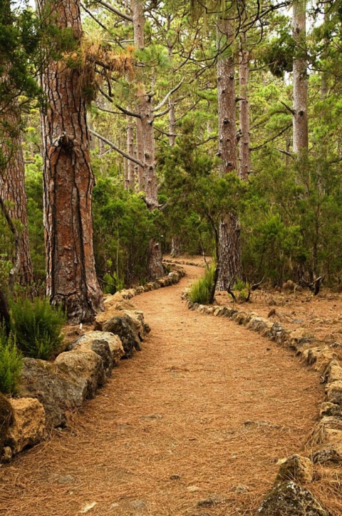
VENTE has a map viewer of the island of Tenerife showing the recreational areas, camping sites, rest areas, camps, car parks, tracks open to motor vehicles, network of trails and network for bikes and horses within the forest area. It contains comprehensive information regarding the facilities and services, as well as the conditions for booking and conditions of use. It enables users to consult the preventative measures adopted by the Government's managing departments to guarantee safety when using these facilities, including warnings, recommendations or prohibitions when carrying out activities in the forest and surrounding areas. The mobile application enables users to track their position using a GPS system on trails and facilities, even without mobile phone coverage. Additionally, it enables interaction between users and the Administration based on a system for the creation of incident reports which are sent to the managing department of the particular facility. The system functions off-line, and after having downloaded the application and its content all information is available without the need for a 3G connection.


