Ruta del Agua - Zona Norte
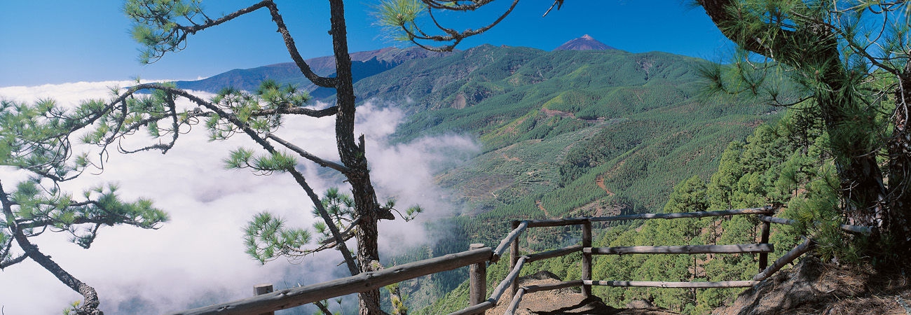
The path starts about 50m to the right of the forest keeper´s house, at Los Pinos Street in an area known as Monte Frío 1. It follows an unpaved path, with lots of fruit trees. You keep going amid stone walls and the typical vegetation of the area: pine-trees, tree-heath, sticky bromms and Canary gums, until you get to some hydraulic works such as the Canal Hoya Grande. The canals now act as a guide, as the path runs between two canals on the right and a third one on the left. Approximately 900m after the start, near the water gauge, you have the option 2 of either going to the right following a narrow path which goes down the canal from Vergara to Pinalete, or going straight along Lomo Grande canal. The two tracks join in a narrow path which goes down towards a flat area and take the narrow path to the left amid a thick, luxurious vegetation with indigenous species such as pines, tree-heaths, Canary gums sprinkled with holly trees and Canary St John´s wort 3.
Interesting details
La Guancha

Flora
Canary Islands Pines (Pinus Canariensis), tree-heath (Erica Arborea), Canary Islands strawberry trees (Arbutus Canariensis), holly trees (Ilex Canariensis), sticky brooms (Adenocarpus Foliosus), Canary gums (cistus Symphytofolius).
Protection
Town Tourist Information Centre 922 828 002 La Guancha Local Police 922 130 150 Red Cross 922 130 117 922 281 800 City/Highway Police 922 810 618 TITSA (Bus company) 922 531 300
Route details
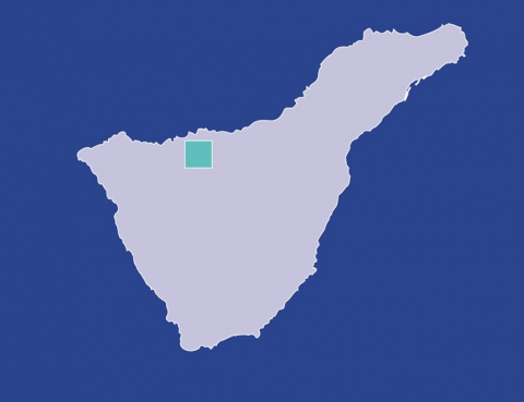
| Position | Borough of La Guancha |
|---|---|
| Start point | Casa Forestal (Calle los Pinos) |
| End point | Plaza del Pinalete (Carretera TF-222) |
| Distance | 2 Km. |
| Duration | 1,5 h. |
| Difficulty | Low |
| Accessibility | TITSA bus routes |
| Grade | 7,5% approx. |
| Slope | 150 mts. |


