San Marcos - Arenas Negras
1The path starts on the beach of San Marcos (where you have the Caves of the Guanches on El Cardonal Cliff). After going up for about 200 m., you should take a turning on the right, at Barranco del Preceptor (The Tutor´s Ravine), this will take you to the path of the Barandas, which, crossed by Los Cuatro Caminos (The Four Roads), goes on to the C-820. After crossing the C-820, the path goes along Hercúleas Street, where you will find the chapel (Ermita del Tránsito), and from which you reach Lorenzo Cáceres Park and San Marcos Church. From here you can see the thousand-year-old Dragontree, a real landmark of Icod de Los Vinos. You follow Arcipreste Ossuna Street to the quiet, secluded Plaza de la Pila and then you take the steep San Antonio Street going past the Hospital de Dolores, Ermita del Patrocinio, Plaza de Manuel Cabrera Mejías and Ermita de San Antonio, until you get to the area of the Bebedero (about 100 m. on the right of Los Lavaderos). Then the Camino the Aserradero (Sawmill Way) until you reach the TF-226. At this point, you can get into the area of Boquín and Furnia ,where there is a wood of local laurel trees "laurisilva" that reaches the ravine of Caforiño, and where you may see the Caves of Don Gaspar and Casa Boquín. From El Amparo area on the TF-226, the path goes on for about 50 m, then you turn left and go up La Patita Street towards the Redondo Crossing, from here you take Calle de los Piquetes up to the beginning of the way of Las Breveritas, just at the crossing of Camino de Marengo and Camino de las Breveritas. Go along the Camino de las Breveritas until you get to the last house. Here the path still preserves the original cobblestones and goes in between stone walls and a vegetation of Canary Islands sorrel (Rumex Lunaria), Canary gum (cystus symphytofilius), tagasastes (Chamaecytisus Proliferus), etc. About 150m to the left, there is an abandoned terraced field. Here lies the lower part of El Sobrado, and 250m upwards, the higher part. You may now want to go to the Redondo area and walk amid Canary Islands pines, tree-heath, sticky brooms (Adenocarpus foliolosus), and other species. Once you get to the higher part of El Sobrado, you can turn left into Camino Real (Royal Way) which is easily recognisable for its original cobblestones, to Redondo. Turning right you get into a pine-wood and Los Márquez road, where you should take the first turning on the left: the path of La Hoya or the path of Los Pericos. 2 You go through the pine-wood until you get to the forest road of Fuente Santa (Holy Fountain) which leads you to the recreational and camping area of Arenas Negras.
Interesting details
San Marcos - Icod

Flora
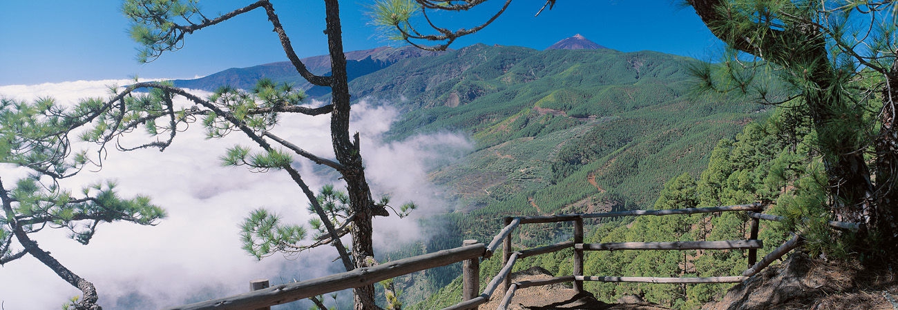
Canary Islands pine, tree-heath (Erica Arborea), Canary Island Wax-Myrtle (Myrica Faya), Canary gums (Cistus Symphytofolius).
Values
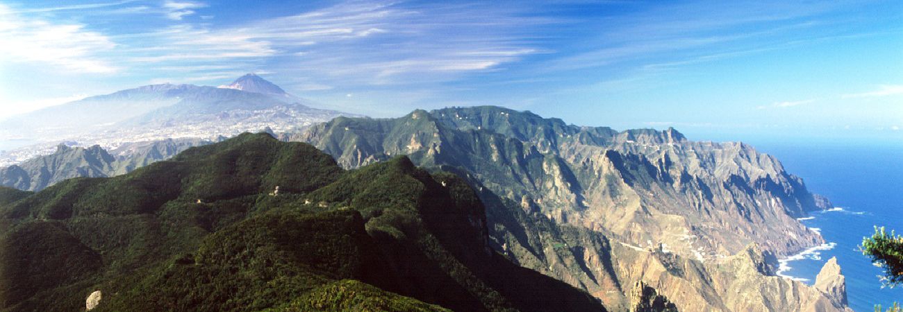
Cliffs. Volcanic tunnels. Millenary Dragon-tree.
Heritage
Ermita del Tránsito (Chapel of Our Lady´s Transit) San Marcos Church (15th-16th c.). Plaza de la Pila and surroundings (traditional architecture). Hospital de Dolores and Ermita del Patrocinio (16th c.) Hermitage de San Antonio (17th c.) Hermitage del Amparo (16th-18th c.)
Protection
Protected site of La Culata Cliffs. Natural Park of the Forest Crown. Useful telephone numbers Useful telephone numbers Icod de Los Vinos Local Police 922 810 661 City/Highway Police 922 810 618 Red Cross 922 810 117 922 281 800 Town Tourist Informatión Centre 922 813 511 TITSA (Bus company) 922 531 300
Route details
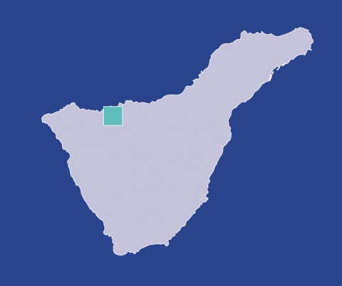
| Position | Borough of Icod de Los Vinos |
|---|---|
| Start point | San Marcos |
| End point | Altos de Icod or Zona Recreativa Arenas Negras |
| Distance | 20 Km |
| Duration | 6 h. 45 min |
| Difficulty | Upper - intermediate level |
| Accessibility | TITSA bus routes |
| Grade | 11,88% approx |
| Slope | 1.215 mts. |


