Anaga-Chasna GR-131 Nature Trail
Anaga-Chasna GR-131 Nature Trail
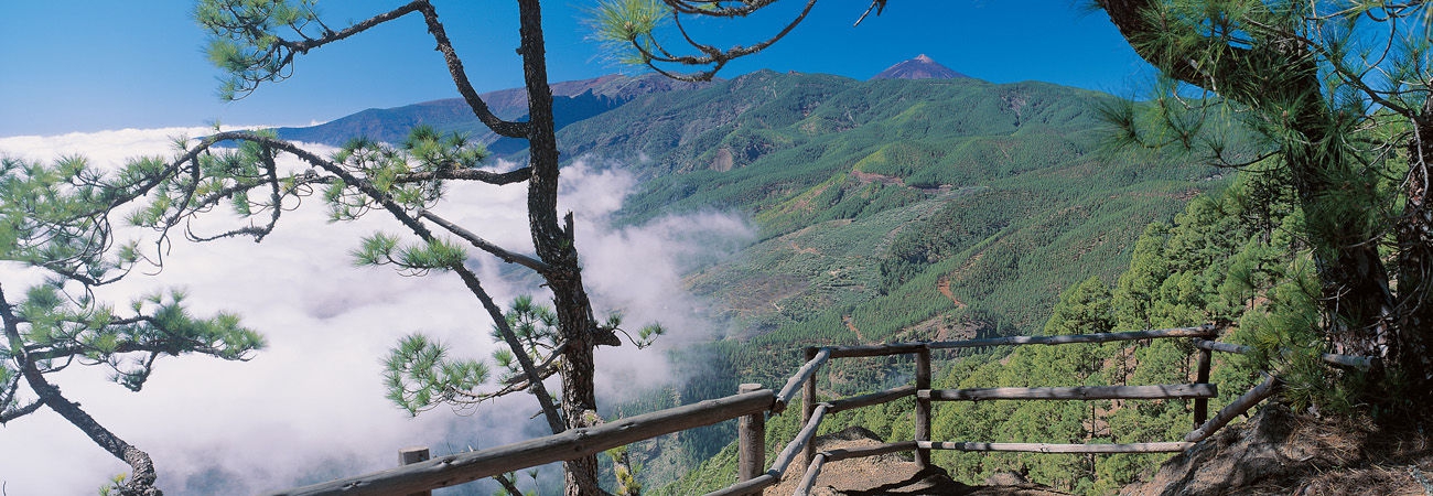
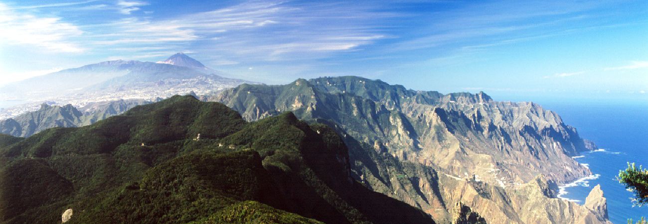
The Anaga-Chasna GR-131 Nature Trail is one of the two most popular walking routes on Tenerife. It crosses the forest areas and the summits of the Island to the delight of the traveller, who has the privilege of admiring the great contrasts of the Tenerife landscapes, from the exuberance of the vegetation to the capricious volcanic formations, crowned by the imposing Pico del Teide.
The island of Tenerife is the largest and highest of the seven islands of the Canary Archipelago. It has 43 protected natural spaces throughout the island, which cover around 45% of the total surface area. This high level of protection of the territory gives an idea of the variedness and uniqueness of the ecosystems and landscapes that can be found in less space than in any of Spain's regions.
ANAGA-CHASNA NATURE TRAIL GR-131 (Walking Maps: click on Downloads)
The Anaga-Chasna nature trail or GR-131 is one of the most popular walking trails on the island. It crosses the centre of the islands in a south-westerly direction, from the town of La Esperanza to the historic town centre of Arona. Due to its length, around 90 km, the walk is divided into five stages.
STAGE 1: LA ESPERANZA TO LA CALDERA
Description of the route
1. The first stage starts from La Esperanza, capital of the El Rosario Municipality, entering the Adelantado Forest, with vestiges of a laurisilva forest. Follow Calle Grano de Oroto to the Rayo trail, then take the Las Barranqueras trail to Cruz de Fune. Outside of the town, the trail passes through radiata and Canary Island pine forests until it reaches the deviation that goes to the recreational area and La Vica lookout. The trail alternates forest trails and tracks until it reaches the Siete Fuentes rest area, where it begins a steep descent on a zigzagging trail. Once you reach the higher elevations, there are numerous ravines among pine forests and heather; the trail follows the track through the forest to Portillo del Topo, where it joins the short trail PR TF-35 Mamio Pinolere. A forest track firstly goes to the Casa del Agua, then to the Pedro Gil rest area and, finally to the La Caldera recreational area.
STAGE 2: LA CALDERA TO EL PORTILLO
Description of the route
2. There is a spectacular panoramic view of the Valle de La Orotava and the Island of La Palma from the La Caldera area. The section begins by taking the trail that starts from the car park in the La Caldera recreational area, until it joins Trail SL-TF 81 Camino de La Orilla del Monte, which winds through a leafy pine forest. The trail goes into a pine forests and heather until it reaches the rest area known as El Pino or Fuente Cruz del Dornajito. The forest becomes monteverde, with the characteristic laurisilva species predominating. On the ascent, the trail goes into a pine forest that increasingly becomes more dense, accompanied by high mountain vegetation characteristic of these altitudes, such as Teide broom and laburnum. On reaching the Cruz del Dornajito, you will follow some sections of track to take the old Camino Real de Chasna, which ascends continuously until it reaches the El Portillo intersection, where there is a Visitors Centre in Teide National Park.
STAGE 3: EL PORTILLO TO DEGOLLADA DE GUAJARA
Description of the route
3. From El Portillo the trail follows the track from Siete Cañadas (Camino Real de Chasna), through a unique landscape among autochthonous flora. The trail goes along the base of Circo de Las Cañadas, offering views of the immensity of the Teide along the entire route. Along the way there are unique volcanic origin formations, such as La Papelera and El Palomar, which alternate with the ravines this trail is named after. There are also Guanche settlements used by shepherds, until it arrives at the Cañada del Montón de Trigo, a plain that extends below the face of the lava where a large pond forms in the winter. On reaching this point, the track continues to the National Tourist Parador on the GR 131.1 or continues on the next stage of the Nature Trail, towards Degollada (hill) de Guajara.
STAGE 4: DEGOLLADA DE GUAJARA TO VILAFLOR
Description of the route
4. Returning to Cañada del Montón de Trigo, the trail ascends on a constant slope to Degollada de Guajara, where there is a panoramic view of Circo de Las Cañadas, Pico Viejo, Montaña Blanca and the Pico del Teide. From Degollada de Guajara there are areas of volcanic tuff, on the Camino Real de Chasna route, an old trail linking the north and the south of the island. Once at the top of the hill, the descent begins, altering terrains populated with pines and high mountain scrub, arriving at the most mature pines. Once in the pine forest, there is an option to visit the Los Escurriales look out by taking the PR TF-72 Trail, Vilaflor – Paisaje Lunar - Vilaflor. The trail passes along the ruins of the Casa de Marrubial, and further on there is a rest area beside an enormous pine tree. The trail then goes towards Vilaflor, the town at the highest altitude on the Canary Islands, situated at 1,400 metres above sea level. On this last section of the stage, the Camino Real de Chasna traces a route between dry stone walls in a perfect state of conservation. Once in Vilaflor, the signs on the trail lead towards San Pedro, where there is a church of the same name, one of the oldest religious buildings on the island.
STAGE 5: VILAFLOR TO ARONA
Description of the route
5. This section starts from San Pedro Church, in Vilaflor, and goes a long Calle Los Molinos, ascending to the San Roque Hermitage, from which there are splendid views. On the ascent, the trail goes into the La Corona Forestal Natural Park, passing alongside the municipal water storage facility, until it reaches an area known as Las Corujas. From here, the Trail descends into the Ifonche Protected Landscape, where pine forests alternate with crop terraces, passing by the Guayero Bridge, which crosses the Las Goteras Ravine, the most interesting area for flowers in the Ifonche. Old circular threshing floors can be seen towards the end of the trail. Once at the base of the Roque Imoque, the trail goes into the Barranco del Infierno Special Nature Reserve, where it divides the towns of Adeje and Los Cristianos, as well as the islands of La Gomera and La Palma. On this last section of the trail there is also the Roque del Conde, on whose summit are the remains of aboriginal engravings, and vegetation characteristic of the area. The trail then follows the Camino de Suárez; continuing along the El Rey ravine until it reaches the Vento de Arona neighbourhood and, after a walk through its streets, to the historical centre of this town. The Nature Trail concludes at the church and Town Hall of Arona in the Plaza Salud.


