


Las Hiedras
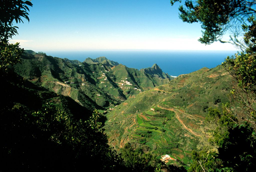
The track of Las Hiedras starts at the recreation area of La Cruz del Carmen, 1 where there is a restaurant, a view point and a visitor´s centre. The hermitage of Nuestra Señora del Carmen (19th c.) is also here. The track starts at the right side of the restaurant, goes down some stone steps, and then along an unpaved path amid wax-myrtles, tree-heath and other species from the laurel forest area. From this point you should always keep to the left until you find a diversion, where you take the path on the right which will take you downwards to the track of Las Hiedras. Once on the track, you keep going without leaving it. The track is at a height of 800m until it connects with el Batán road, TF-1143. The vegetation is that of the so called "monte verde", i.e. a forest consisting mainly of "laurisilva" (laurel forests), tree heaths and wax-myrtle. The track is bordered on the right by a bushy section of ferns, and examples of Canary Islands Buttercup (Ranunculus cortusifolius) and Canary Islands cranesbill (Geranium Canariense). The left- hand slope is covered by a thick rock vegetation (growing out of the crack of the soil, between the rocks....), aeoniums, moss and lichen, as well as examples of ornamental flowers such as hortaensia. A few minutes from the start, you will find a spring on the left side, recently transformed into a fountain, made of local stone. You souldn´t take the track which goes up next to the fountain. Pista de Las Hiedras is a real meeting point of different tracks; hence 400 m. from the fountain and on the left, you may change direction and go to El Batán. If you decide to go on the same direction you have to go straight on. Some 200 m. farther, you have another track, this goes down from the forest house to Las Hiedras track. The track goes on through areas where local stone mines are seen as well as stone dumping sites. On the same side you find a shelter cave carved into the rock. 2 The excursion finishes at the end of the track just when it joins the road to El Batán.
Interesting details
Anaga.

Flora
Canary Islands Ebony (Persea Indica), Canarian Laurel (Laurus Azorica).
Values
Fauna: two kinds of wild pigeons, called "turqué" (Bolle pigeon) and "rabiche" (Pigeon of the Laurel Forests).
Heritage
Hermitage of Nuestra Señora del Carmen (19th century). Information Centre Cruz del Carmen.
Protection
Inside the rural Park of Anaga. Useful telephone numbers Rural Park Informatión Centre 922 633 576 La Laguna Local Police 922 601 175 Red Cross 922 259 626 922 281 800 City/Highway Police 922 259 416 TITSA (Bus company) 922 531 300
Route details
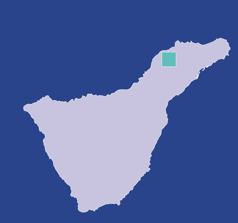
| Position | Borough of La Laguna |
|---|---|
| Start point | Cruz del Carmen |
| End point | Carretera del Batán (TF-1143) |
| Distance | 7,5 Km. |
| Duration | 2 h. |
| Difficulty | Low |
| Accessibility | TITSA bus routes |
| Slope | From 1000 to 500 m. above sea level |