Chinamada - Punta del Hidalgo
Chinamada is an ancient indigenous hamlet, where about thirty caves are still preserved in a very good condition, these caves are of great ethnological interest and they are inhabited at present.
1The track starts on the left of the recently built hermitage of Chinamada, along a path with a sign which says "La Punta del Hidalgo" (PR TF-10). The path goes down smoothly from the start over the Tomadero ravine, a very rugged one. On its first stages, the path goes through terraced fields, where the locals still grow potatoes and pumpkins, and then goes on through a landscape which is always rugged, even harsh, combining different types of volcanic stones, rocks and caves. It is here where you may find the deepest caves, which can be used as shelter to rest or to have something to eat.
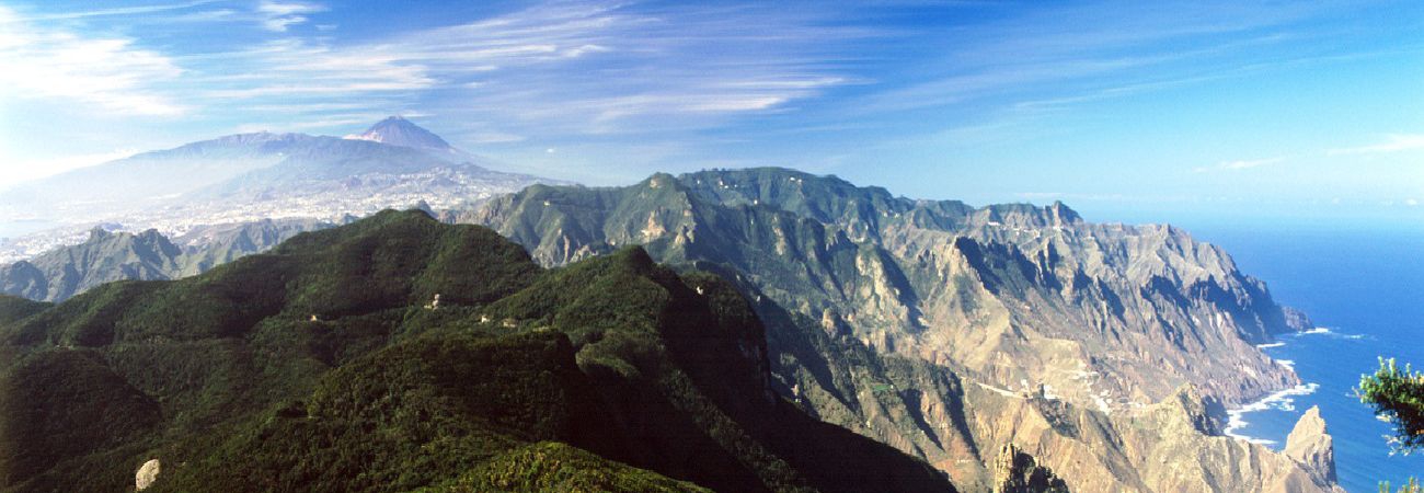
In the last part of the path, you reach El Roque de los Dos Hermanos, over Los Troches beach, from this rock you may admire some of the most beautiful sights on the coastline of Anaga.
2Then the path starts an abrupt descent in a zig-zag on the southern slope of the Rock towards the mouth of the El Río ravine, from where you go straight to Punta del Hidalgo, following an uphill rural road.
Interesting details
Anaga

Flora
Spurges.
Values
El Tomadero ravine. El Rio ravine. Roque Dos Hermanos.
Heritage
Troglodite hamlet of Chinamada.
Protection
Inside the rural Park of Anaga. Useful telephone numbers Rural Park Informatión Centre 922 633 576 La Laguna Local Police 922 601 175 Red Crosst 922 259 626 - 922 281 800 City/Highway Police 922 259 416 TITSA (Bus company) 922 531 300
Route details
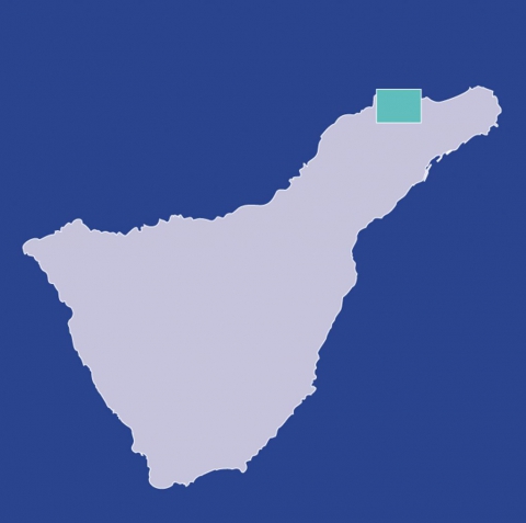
| Position | Borough of La Laguna |
|---|---|
| Start point | Chinamada |
| End point | Punta del Hidalgo |
| Distance | 4,7 Km. approx. |
| Duration | 2 h. 15 min |
| Difficulty | Medium |
| Accessibility | TITSA bus routes |


