


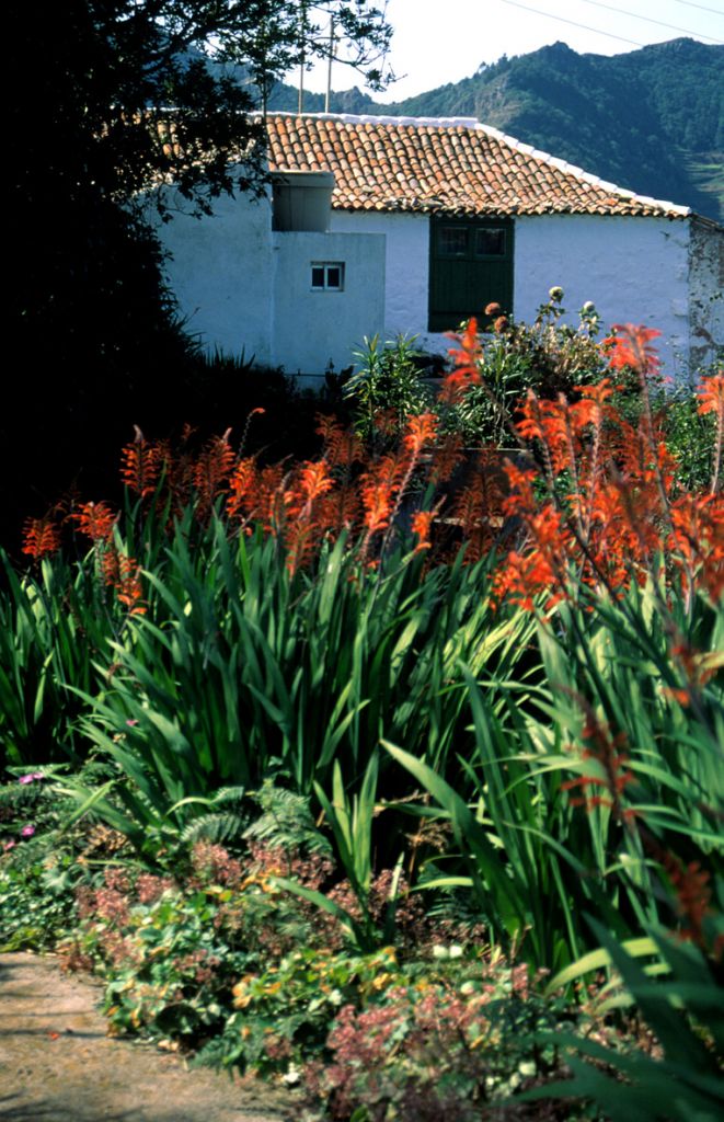
Casa Carlos - Taborno
1 The track starts on the right side of the restaurant Casa Carlos (the former Casa Negrín), near the junction of the TF-1123, along a rural road that leads to some houses. After some 150 m. the track starts, through the remaining "monteverde", with some very good examples of the purest laurel forests.
You keep in this sort of surrounding until you get close to La Bollada, where, as the wood gets thinner and clearer, you may admire the most striking views over the valleys of Afur and Carbonera.
The track reaches the TF-1128 amid tilled, half-tilled and abandoned fields; at times you may see the original cobblestones. There is a bus stop at the junction with the road. You cross the TF-1128 and come into Taborno; leaving the square behind you, you head towards the Taborno Mount (Roque de Taborno), which constitutes a real landmark, a symbol of the Anaga Park.
The terrain of the area next to El Roque is somewhat difficult as the track narrows and the way gets less and less clear.
2 Once at El Roque, the track ends right at the front part of it, and from there, you get an impressive view of the ravines of Afur and Taborno in spite of the persistent clouds.
Interesting details
Casa Carlos - Taborno

Flora
Canary Islands Ebony (Persea Indica), Canarian Laurel (Laurus Azorica). Taborno and Afur ravines. Taborno Rock. Afur valley and Las Carboneras valley.
Values
Fauna: two kinds of wild pigeons, called "turqué" (Bolle pigeon) and "rabiche" (Pigeon of the Laurel Forests).
Heritage
Huts and straw lofts in Taborno. Threshing floor in Taborno.
Protection
Inside the rural Park of Anaga (1st and 2nd sections). Useful telephone numbers Rural Park Informatión Centre 922 633 576 La Laguna Local Police 922 601 175 Red Cross 922 259 626 922 281 800 City/Highway Police 922 259 416 TITSA (Bus company) 922 531 300
Route details
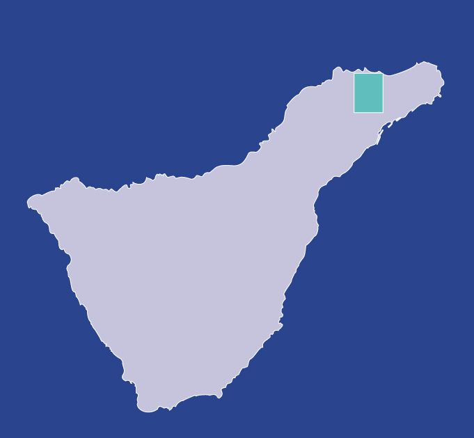
| Position | Borough of Santa Cruz de Tenerife |
|---|---|
| Start point | Rte. Casa Carlos (close to the crotch TF-1123) |
| End point | Roque de Taborno |
| Distance | 4,5 Km. approx. |
| Duration | 2 h. 5 min. |
| Difficulty | Low |
| Accessibility | TITSA bus routes |
| Slope | 250 mts |